
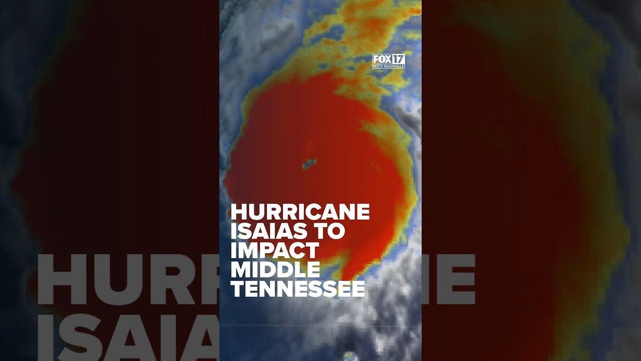
A major hurricane heading toward Florida is expected to bring heavy rain and strong winds to Middle Tennessee starting early Saturday morning.
Residents should prepare for a wet and windy weekend, with the worst conditions expected during the first half of Saturday. Heavy showers and strong gusts could continue into Saturday night and Sunday.
A flood watch will remain in effect across much of Middle Tennessee from 1 a.m. Saturday until 7 a.m. Sunday. A wind advisory is also in place for Saturday. Wind gusts could reach 45 mph in southern counties, while the Nashville area may see gusts between 25 and 35 mph.
Most areas could receive between 1 and 2 inches of rain, while some locations may get up to 3 inches. The heavy rainfall could lead to localized flooding, especially in areas where water collects quickly.
Although the strongest weather is expected to move through early Saturday, periods of heavy rain and gusty winds may continue throughout the evening and into Sunday.
Showers could linger through lunchtime Sunday before conditions gradually improve. Drier weather is expected to return at the beginning of next week.